Home | About Us | Contact Us
Automated Engineering Technologies Ltd.
- Company Profile
- Services
- Aerial Imaging

- Construction Layout
- Topographic Surveys
- Site Plans
- Volume Surveys
- Utilities
- 3D Rendering
- Drafting Services
Topographic Surveys
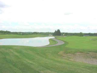
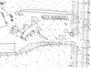
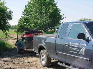
Automated Engineering Technologies Ltd. specializes in the field capture of data for use by our clients on projects including Site Plans, Road reconstruction projects, Subdivisions (for pre engineering and earth volume calculations at both design and construction stages), Utility Design, Stockpile volume calculations and more. Using Geodimeter Total Stations and Sokkia SDRMap design software the data is collected in the field and processed for design drafting using AutoCAD ™.
|
Typical Clients using this service include: Engineering Firms |
 |
 |
 |